


18,1 km | 34 km-effort

Benutzer


Kostenlosegpshiking-Anwendung
 SityTrail
IGN / Geografische Institute
SityTrail World
Die Welt öffnet sich für Sie
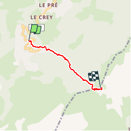
Tour Pfad von 3,1 km verfügbar auf Auvergne-Rhone-Alpen, Savoyen, Les Avanchers-Valmorel. Diese Tour wird von zazie vorgeschlagen.
Départ depuis le parking du Bourg.
Les gants sont très utiles ainsi que des chaussures étanches (surtout le matin avec la rosée et remonter de petits torrents). De bons crampons feront gagner du temps.
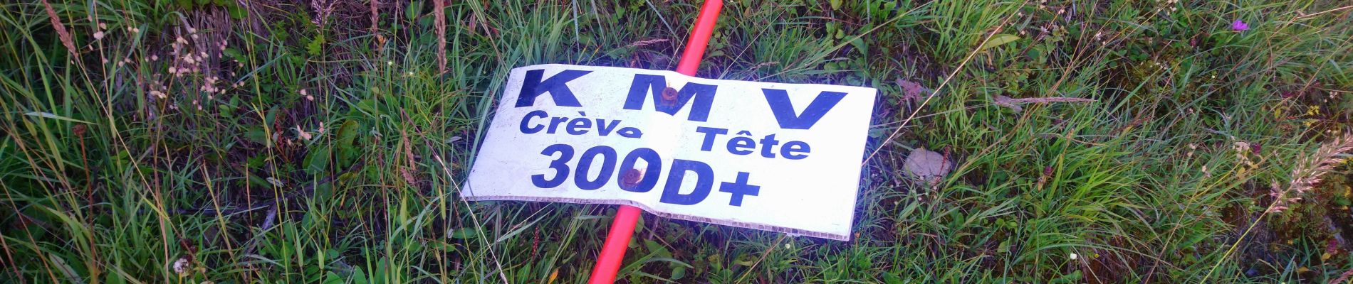
Deux cordes à 300 et 700 M à votre gauche sont les bienvenues.
La trace est parfaite, de bons passages marqués par de petites marches très régulières.


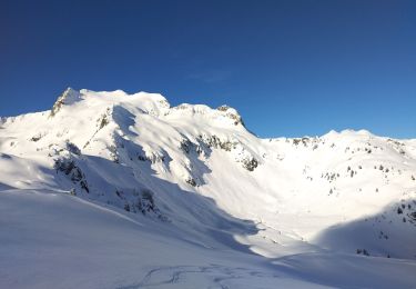
Wandern

Skiwanderen

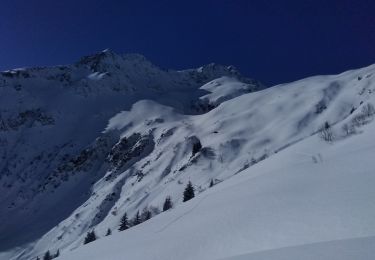
Skiwanderen
Skiwanderen
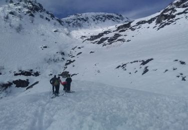
Skiwanderen
Skiwanderen
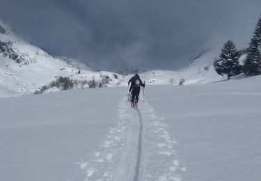
Skiwanderen
Skiwanderen
Skiwanderen